GIS Integration & Smart Cities.
At Smart Built Technologies, we leverage GIS (Geographic Information System) technology to support the development of smart cities. Our expertise ensures that urban environments are managed more efficiently, promoting sustainable growth and enhanced livability.
 GIS & Smart Cities
01 · What is GIS?
What is GIS?
GIS is a powerful system that captures, verifies, and displays spatial data based on Earth's surface. By layering geographic information, GIS enables better analysis, comprehension, and management of urban spaces. It provides real-time access to accurate data, making it a crucial tool for urban planning, construction, and infrastructure management.
When integrated with Building Information Modelling (BIM), GIS creates a powerful spatial-BIM ecosystem that extends building-level intelligence to city-scale decision making. Combined with Digital Twin technology, GIS enables real-time monitoring and predictive analytics across entire urban districts. Its integration with Asset Management platforms ensures geospatial context for every asset, enabling location-aware maintenance, resource allocation, and infrastructure lifecycle planning.
 Associated with TXG, KSA
- Spatial Data Layers
- GIS
- Combined Integration
- BIM
- Digital Twin Ready
- Twin
- Real-Time Access
- Live
02 · Why Smart Built Technologies for GIS
Why Choose Us for GIS Integration?
GIS integration in smart city projects leads to smarter resource allocation, efficient data management, and optimized planning. At Smart Built Technologies, we offer specialized GIS integration services designed to help construction organizations:
- 01
Streamline Surveying and Data Management
Simplify the collection and organization of vast amounts of spatial data, ensuring all critical information — from topographic surveys to utility mapping — is stored, validated, and managed in a central, version-controlled location accessible to all stakeholders.
- 02
Enhance Collaboration with GIS and BIM
By combining GIS with Building Information Modeling (BIM), construction firms can ensure seamless spatial data sharing, enhanced project visualization across geographic scales, and integrated workflows that connect building-level design with site and city-level context.
- 03
Access to Real-Time Data
Make informed decisions with real-time geospatial updates from IoT sensors, drone surveys, and satellite feeds — improving responsiveness and efficiency in urban planning, infrastructure monitoring, and emergency management scenarios.
- 04
GIS-BIM-Digital Twin Synergy
Unlock the full potential of your digital ecosystem by connecting GIS spatial intelligence with BIM building data and Digital Twin real-time analytics — creating a multi-scale platform that drives smarter asset management, urban planning, and infrastructure lifecycle decisions.
03 · Key Services
Our Key GIS Integration Services.
Every GIS service is built around spatial intelligence, real-time data, and driving smarter urban development.
- 01GIS & BIM
GIS and BIM Integration
Combining geospatial intelligence with building-level BIM data to create a unified spatial ecosystem for enhanced visualization, coordination, and decision-making across construction teams and urban planners.
- 02Data
Centralized Data Solutions
Helping organizations centralize spatial and operational data into a single, accessible platform — enabling cross-departmental collaboration, eliminating data silos, and ensuring all stakeholders work from consistent, location-aware information.
- 03Real-Time
Real-Time Data Accessibility
Ensuring you have access to up-to-date geospatial information for responsive decision-making, live monitoring of urban systems, and dynamic infrastructure management through cloud-based GIS platforms.
- 04Surveying
Advanced Surveying Capabilities
Comprehensive support for capturing and verifying spatial data using modern surveying technologies — including LiDAR, drone photogrammetry, and satellite imagery — to aid in efficient planning and site analysis.
- 05Digital Twin
Digital Twin & GIS Convergence
Merging GIS with Digital Twin technology to create city-scale digital replicas that enable real-time infrastructure monitoring, predictive maintenance across districts, and scenario simulation for urban resilience planning.
- 06Asset Mgmt
GIS for Asset Management & FM
Integrating geospatial context into asset management and facility management platforms — enabling location-aware maintenance scheduling, spatial resource allocation, and geographic performance analytics across building portfolios.
Landmarks, modelled
Some of the most ambitious buildings in the Gulf and Australia, associated with TXG, KSA, whose experience and track record are Smart Built Technologies’ own.
All 22 projects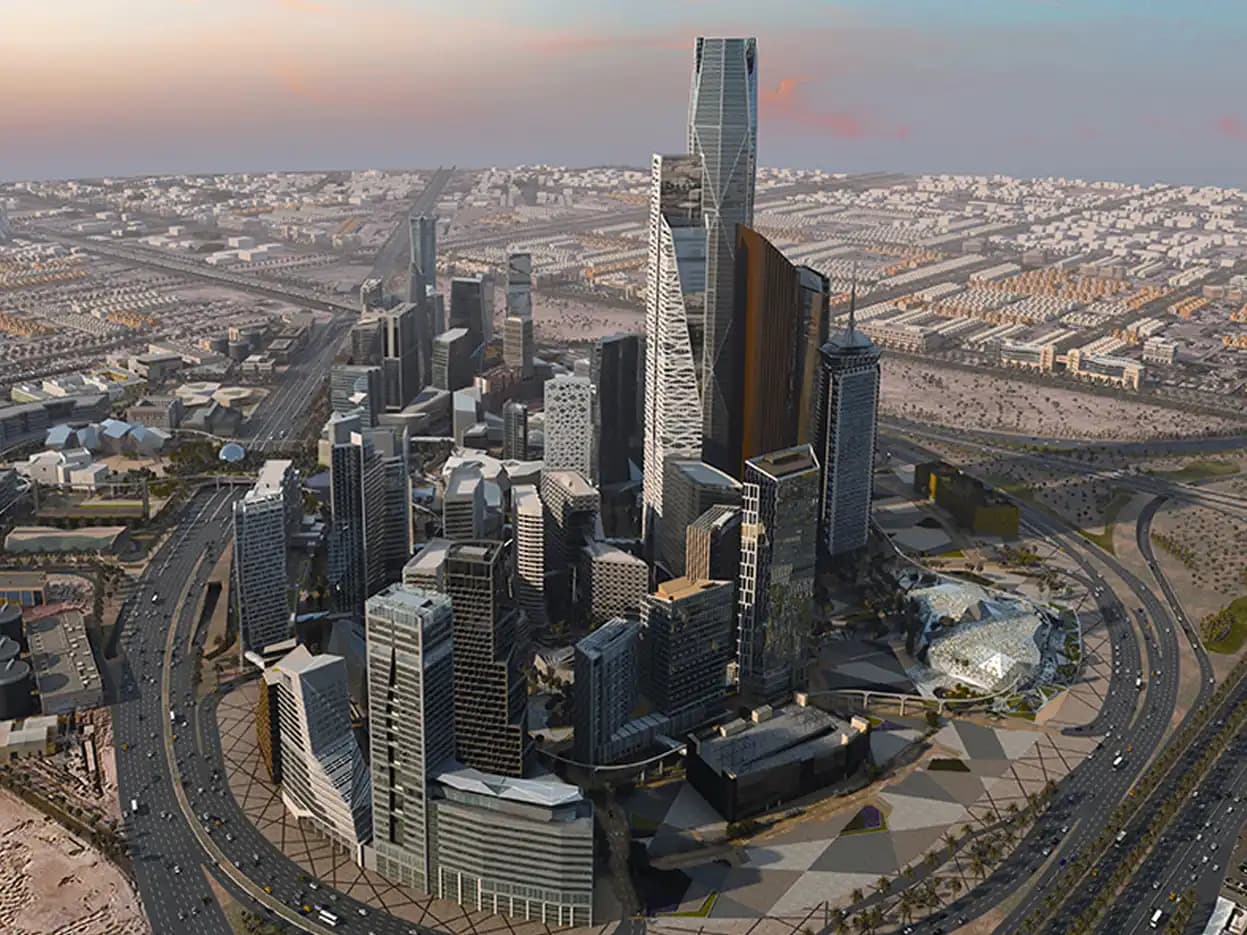 01
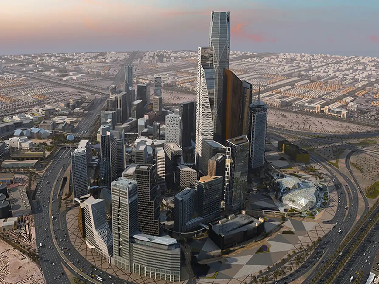
King Abdullah Financial District
Mixed use · Riyadh, KSA 02
NEOM Bay Airport T1 T2
Airports · Neom, KSA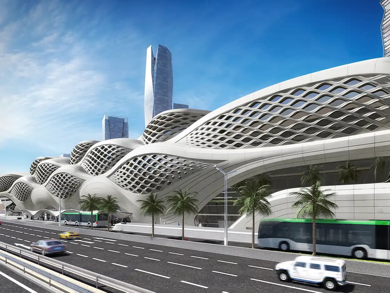 03
Riyadh Metro
Infrastructure · Riyadh, KSA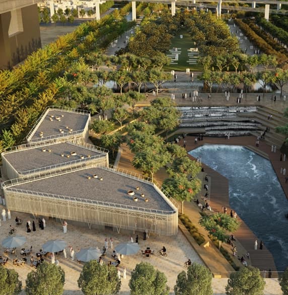 04
Sports Boulevard
Infrastructure · Riyadh, KSA 05
Melbourne Airport
Airports · Melbourne, Australia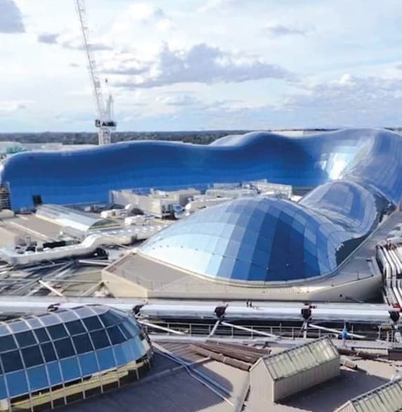 06
Chadstone Shopping Center
Commercial · Melbourne, Australia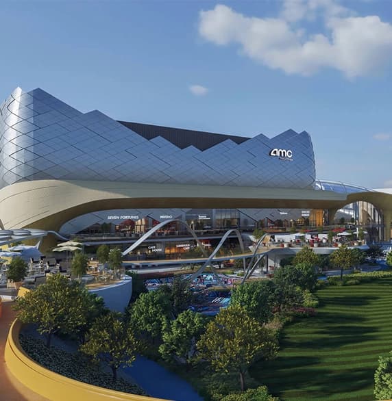 07
Al Nahda Entertainment Complex, Exit 15
Commercial · Riyadh, KSA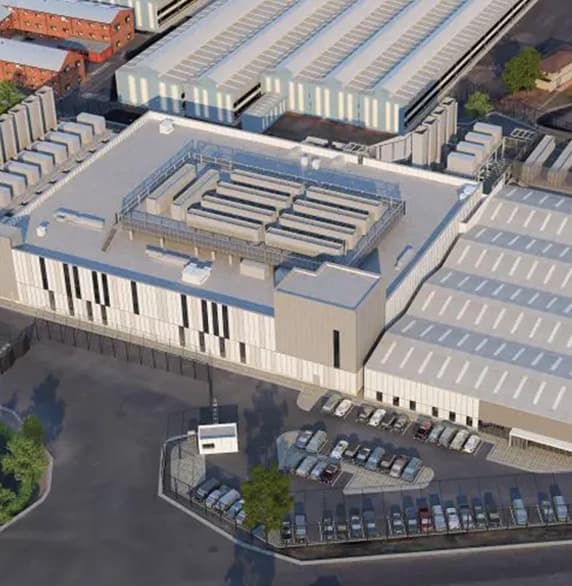 08
Microsoft Data Center MEL07
Industrial · Melbourne, Australia- More from TXGAll 22 projectsOpen the full list
Experience the future of Urban Development.
Experience the future of urban development with our GIS solutions designed for smart city advancement. Our services ensure you stay ahead in planning, construction, and overall city management. Contact Us Today to explore how our GIS integration services can enhance your smart city projects.